
Mapillary – Crowdsourced Street Photos od Mapillary
Explore the world with Mapillary street images.
Pro používání tohoto rozšíření potřebujete Firefox
Metadata rozšíření
Snímky obrazovky


O tomto rozšíření
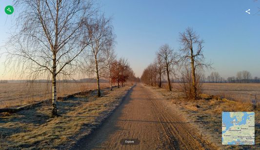
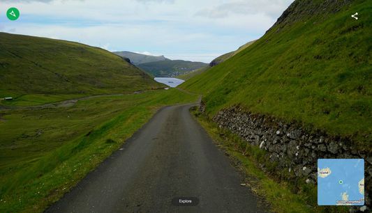
Mapillary is the street-level imagery platform that uses computer vision to fix the world's maps.
This extension features Mapillary street images captured and shared by the Mapillary community. Press explore and go for a virtual tour.
Mapillary is a community-based photo app for capture, share and explore street photos. By using the phone’s camera you can create your own street level views of places you find interesting and beautiful. By publishing them to Mapillary you can share virtual tours with friends and the rest of the world.
Mapillary is a community where everyone is contributing and benefiting with help from each other. Collectively we are creating photo map the world with simple tools and little effort. Get involved!
Ohodnoťte svou zkušenost
Další informace
- Odkazy doplňku
- Verze
- 1.0.12
- Velikost
- 51,15 KB
- Poslední aktualizace
- před 5 lety (4. srp 2020)
- Příbuzné kategorie
- Licence
- Licence MIT
- Historie změn
Přidat do sbírky
Poznámky k verzi 1.0.12
Updated map style.
Další doplňky od autora Mapillary
- Zatím nehodnoceno
- Zatím nehodnoceno
- Zatím nehodnoceno
- Zatím nehodnoceno
- Zatím nehodnoceno
- Zatím nehodnoceno